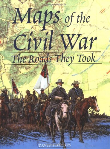
Drawn from the vast resource of the Library of Congress historical maps division, this oversize, invaluable atlas offers a unique assortment of more than 150 full-color and black-and-white paintings, photographs and both specially commissioned and Civil War era maps. Through these indispensable images, travel the battlefields whose names are indelibly inscribed on the pages of American history. Organized by year and by the battles that occurred within each year, they present a comprehensive overview of the Civil War as a whole, showing how the fortunes of the North and South shifted as each conflict unfolded. Many of these maps are rare and never before published, and some were drawn by soldiers who actually participated in the battles in question.