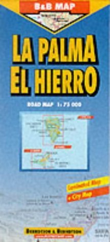
Laminated, folded, indexed tourist map of La Palma Island and El Hierro Island showing major highways, cities and towns, at 1:75,000 scale (1" to 1.2 miles) . Map provides inset for Santa Cruz, as well as a regional map of the Canary Islands. Legend includes viewpoints, national parks, windsurfing areas, beaches, hotels, points of interest, scuba diving areas, and yachting areas. There is also information on mean temperatures, humidity, sunshine, and precipitation. The legend is in English, French, German, Spanish and Italian.