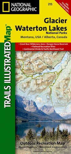
• Waterproof • Tear-Resistant • Topographic MapNational Geographic's Trails Illustrated map of Glacier and Waterton Lakes National Parks offers unparalleled detail for outdoor enthusiasts exploring the pristine landscape of forests, mountains, lakes, and meadows within these two spectacular parks. Created in partnership with local land management agencies, this expertly researched map features key areas of interest including Many Glacier, Great Bear Wilderness, Flathead National Forest, Hungry Horse Reservoir, Lake McDonald, Flathead River, St. Mary Lake, Akamina-Kishinena Provincial Park, and the Waterton Lakes. The Glacier and Waterton Lakes map is an invaluable resource for exploring the more than 800 miles of mapped trails within the parks, including the Pacific Northwest Trail, the Continental Divide Trail, and recommended biking trails.