Toronto 1:12,500 Street Map by ITM Canada

Toronto 1:12,500 Street Map

ITM Canada
1 pages
ITMB Publishing Ltd.
Dec 2004
Map
Travel WSBN
0
Readers
0
Reviews
0
Discussions
0
Quotes
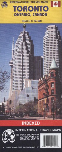
Folded street map of central Toronto at the scale of cale 1:12,500, suitable for exploring on foot. Legend includes commuter train lines, TTC subway lines, TTC streetcar lines, parks/plazas, accommodations, museums, churches, points of tourist/public interest, police stations, bicycle routes, hiking paths, discovery walks, hospitals, malls, bus terminals, ferry terminals, pedestrian streets. Includes inset maps of Toronto beaches, Toronto Rapid Transit guide and Toronto Region.
Join the conversation

No discussions yet. Join BookLovers to start a discussion about this book!

No reviews yet. Join BookLovers to write the first review!

No quotes shared yet. Join BookLovers to share your favorite quotes!

Earn Points
Your voice matters. Every comment, review, and quote earns you reward points redeemable for Bitcoin.
Comment +5 pts Review +20 pts Quote +7 pts Upvote +1 pt
BookMatch Quiz
Find books similar to this one
About this book
Pages 1
Publisher ITMB Publishing Ltd.
Published 2004
Readers 0