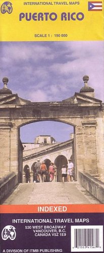
Easy-to-use color map of Puerto Rico for travelers. English-language descriptions of notable destinations. Distinguishes seven different kinds of highways and roads, including dirt roads and major highways. Locates many places of interest such as beaches, scenic vistas, hotels, watersports locations, hiking areas, golf courses, lighthouses, tourist information centers, urban areas and hospitals. Index of populated areas. Color changes show elevation. Includes latitude and longitude lines & coordinates. Printed on one side. Scale 1:190,000. Inset plans of Old San Juan, Greater San Juan, Ponce, Mayaguez, Aguadilla, Arecibo. City plans locate ruins, churches, hotels, viewpoints, shopping, banks, libraries, airports, ferries, post offices, parking lots, public transportation, police stations.