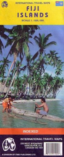
Travel map of the islands in color. Color changes show elevation levels. Distinguishes roads from major roads (mostly paved) to tracks; railways (for sugar cane) ; ferries and cargo vessels; airports; national parks; cities and other settlements; accommodations; beaches; diving/snorkeling; surfing; points of interest. With information about cruises, temples, and other things to do and see. Shows airports, ports, bus stations, gasoline stations, post offices, medical facilities, accommodations, museums, points of interest, archaeological sites, mines, oases, caves, beaches, hiking, more. Index of islands and villages. Reverse side has close-up maps of Viti Levu and Vanua Levu, Suva City, each with its own index. Latitude/longitude grid. Main map scale 1:525,000. Distances in kilometers and miles. Printed on both sides.