

Similar Books in Default
View All Similar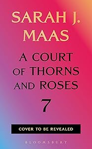
A Court of Thorns and Roses 7
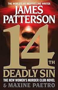
14th Deadly Sin (Women's Murder Club)
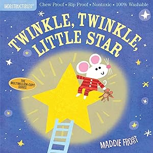
Indestructibles: Twinkle, Twinkle, Little Star: Chew Proof · Rip Proof · Nontoxic · 100% Washable (Book for Babies, Newborn Books, Safe to Chew)
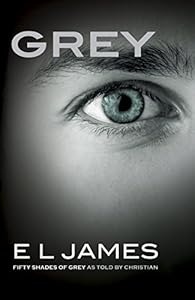
Grey: Fifty Shades of Grey as Told by Christian
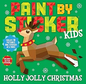
Paint by Sticker Kids: Holly Jolly Christmas: Create 10 Pictures One Sticker at a Time! Includes Glitter Stickers
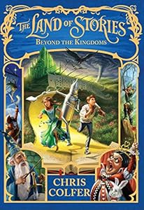
The Land of Stories: Beyond the Kingdoms