Mills' Atlas: Atlas of the State of South Carolina, 1825 by S. Emmett Lucas

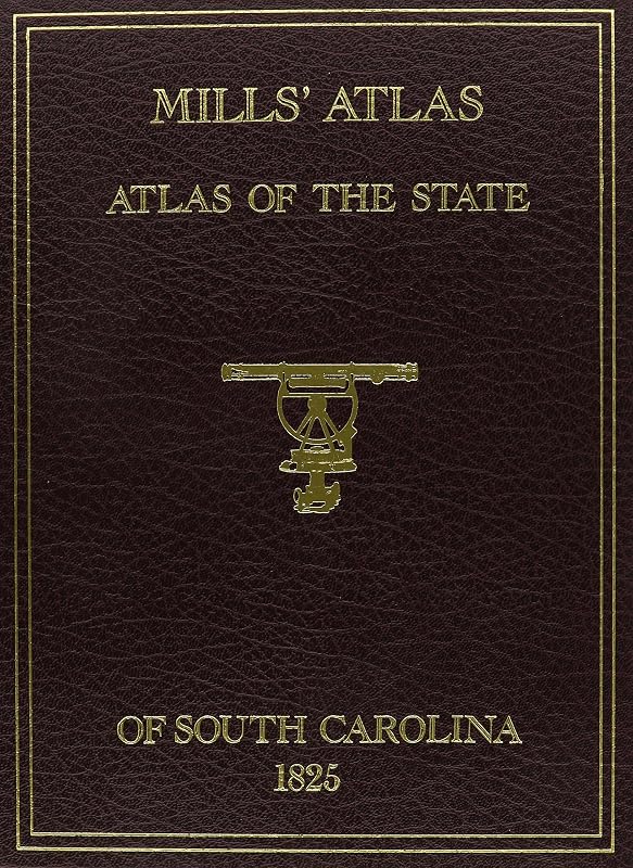
Mills' Atlas: Atlas of the State of South Carolina, 1825

S. Emmett Lucas
‎Southern Historical Press
Dec 1994
Hardcover
Travel WSBN
0
Readers
0
Reviews
0
Discussions
0
Quotes

Free account. We’ll keep this book ready while you join.

Find a copy

Formats and availability vary by store. As an Amazon Associate I earn from qualifying purchases.

<span>This reprint edition of MILLS ATLAS has an especially prepared history and introduction to these maps as well as considerable history about Robert Mills, the man and architect, prepared be Mr. Gene Waddell, formerly Director of the South Carolina Historical Society, Charleston. These maps, originally 23 inches by 29 inches in size, have been conveniently reduced in size to 11inches by 17 inches and folded to fit into an exquisitely gold-stamped simulated leather cover for book shelf or coffee table. The Districts for which maps are included are: Abbeville, Barnwell, Beaufort, Charleston, Chesterfield, Chester, Colleton, Darlington, Edgefield, Fairfield, Greenville, Georgetown, Horry, Kershaw, Lancaster, Laurens, Lexington, Marion, Marlborough, Newberry, Orangeburg, Pendleton, Richland, Spartanburg, Sumter, Union, Williamsburg and York.</span>
Join the conversation

No discussions yet. Join BookLovers to start a discussion about this book!

No reviews yet. Join BookLovers to write the first review!

No quotes shared yet. Join BookLovers to share your favorite quotes!

Earn Points
Your voice matters. Every comment, review, and quote earns you reward points redeemable for Bitcoin.
Comment +5 pts Review +20 pts Quote +7 pts Upvote +1 pt
Similar Books
Find books similar to this one
About this book
Publisher ‎Southern Historical...
Published 1994
Readers 0