Europe: The World in Maps
Martyn Bramwell
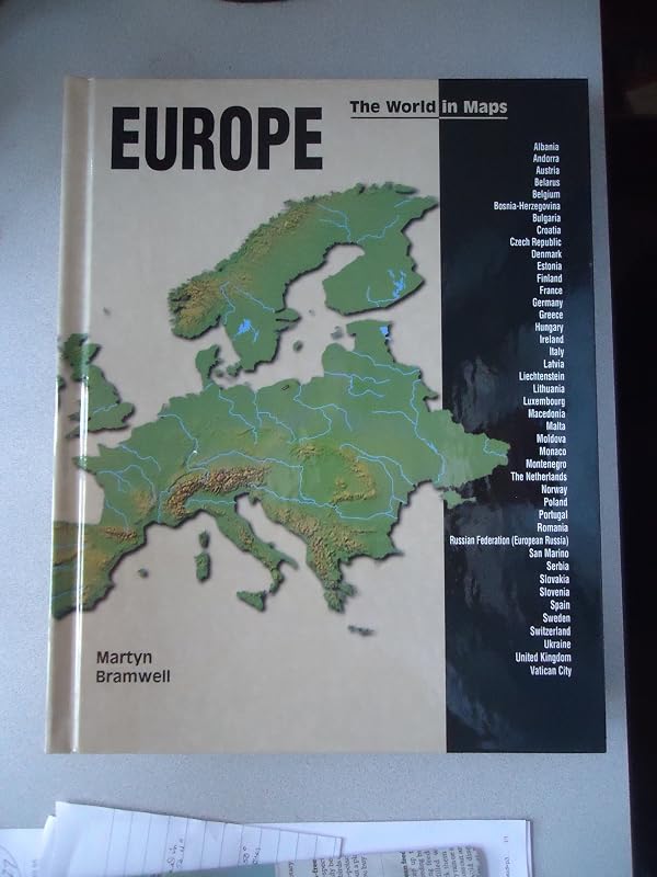
Presents information about the location, topography, climate, population, industry, language, and currency of each of the European countries. Read more Continue reading Read less FROM SCHOOL LIBRARY JOURNAL
Gr 5-8-Series titles that provide brief data, full-color photos, and physical maps for the countries on each continent. Both books include information on topography and histories for some of the countries. In Central and South America, text and fact boxes succinctly cover the basics. The maps reflect the political changes of the last decade. Several of the maps in Europe are difficult to read, primarily because of light background colors and the size of the font. Greece, Germany, and Russia have additional maps depicting rainfall, land use, temperature, and/or population density levels. Neither volume contains a key to map symbols, leaving it up to readers to discern the meaning of certain symbols, the colors on the physical maps, and the significance of the names in blue versus those in black. The indexes list no cities or coordinates to aid students trying to locate a particular capital. The maps are arranged geographically, from north to south in Central and South America and from the Atlantic Ocean east in Europe. While the brevity of the texts might make these titles appealing to reluctant readers, the quality of the maps and the poor indexing make it difficult for any student doing research to access information. Current almanacs, general encyclopedias, and atlases such as The National Geographic World Atlas for Young Explorers (National Geographic, 1998) and DK Children's Atlas (DK, 2000) should satisfy the needs of students looking for basic information or maps on these areas.-Peg Glisson, Mendon Center Elementary School, Pittsford, NY
Copyright 2001 Cahners Business Information, Inc.
FROM BOOKLIST
Reviewed with Martyn Bramwell's Central and South America.Gr. 4-6. Divided into volumes by continents, the new World in Maps series offers physical and political maps of the world's countries, combined with brief facts and a few color photos. In addition to the maps, each entry features at-a-glance stats on the country's population, government, languages, currency, size, and capital. Also included are a few paragraphs about exports, notable physical features, and, in a few cases, recent history: for example, the page about the former Yugoslavian nations features a sidebar chronology of the conflict through 1999. Encyclopedias, particularly those online, will easily provide the same combination of succinct facts and maps, and the information will probably be more current and comprehensive. But the format of this series is attractive and immediately accessible, and libraries may see a need for this material in a slim, bound form that students can hold in their hands and take home. See Series Roundup for more. Gillian Engberg
Copyright American Library Association. All rights reserved
Read more Continue reading Read less