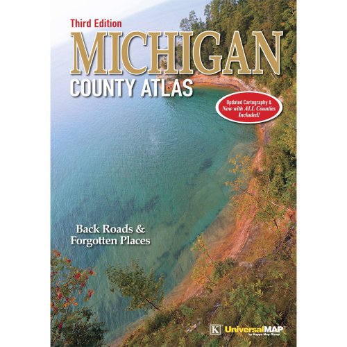
Updated Cartography & Now with ALL Counties Included!The Michigan County Atlas is the best single resource available for exploring the State of Michigan and all it has to offer. This 224-page resource has been 30 years in the making and is the only Atlas that covers each Michigan County as an individual entity.The information provided for each County includes: indexing for county roads, hydrology, and place names. Complete information for outside boundaries of neighboring counties provides for easy navigation from one county to the next.Recreational information includes an extensive list of primary parks for each county, state and federal public lands. National forest numbered roads, lake and stream boat launch and public access sites, hiking and canoe trails, golf courses, nature preserves, birding hot spots, public swimming beaches, and more.