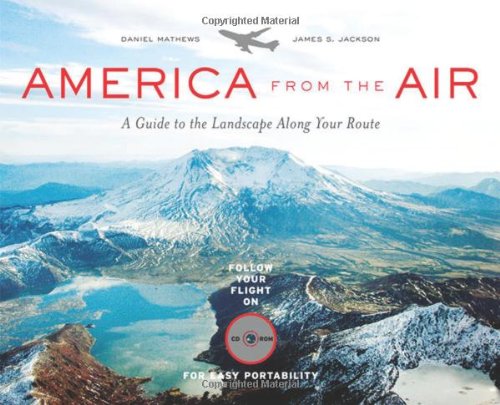
An illustrated guide, in both book and CD-ROM, of landscapes seen from commercial airplane windows across the United States.This is a guide to what an airline passenger sees from his seat while flying over the United States. Through its ingenious construction and a map of preferred flight paths, it’s easy to find those pages that correspond to whatever flight a passenger happens to be on, and then to identify features that can be seen from the air. The book marries geology, natural history, and human history for a glorious portrait of the continent, from the Atlantic City Boardwalk to Mount St. Helens.Each two-page spread features an aerial photo with captions identifying features passengers will see and an essay interpreting the features.