
More by Unknown
View All
Jazz Cabaret Songs for Male Singers - featuring Bob Stewart, vocals - Book/CD Pack

Read to children. Meal-food to a woman, to his grandfather / Chitaem detyam. Edu-edu k babe, k dedu

My Little Pony: Pinkie Pie's Secret Place

Japanisch, bitte 2. Lehrbuch

Xinjiang Wang Meng and his pen

Religiöse Stiftungen in Deutschland
Similar Books in Default
View All Similar
A Court of Thorns and Roses 7

14th Deadly Sin (Women's Murder Club)
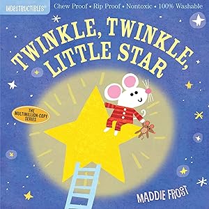
Indestructibles: Twinkle, Twinkle, Little Star: Chew Proof · Rip Proof · Nontoxic · 100% Washable (Book for Babies, Newborn Books, Safe to Chew)

Grey: Fifty Shades of Grey as Told by Christian

Paint by Sticker Kids: Holly Jolly Christmas: Create 10 Pictures One Sticker at a Time! Includes Glitter Stickers
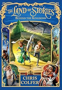
The Land of Stories: Beyond the Kingdoms