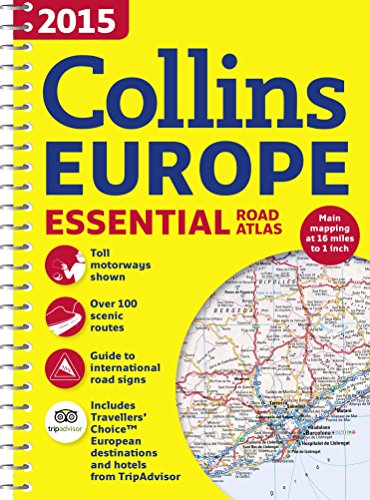
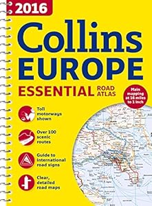
An up-to-date A4 spiral bound road atlas of Europe   Containing clear, detailed road mapping, this atlas is perfect for touring the Mediterranean, Iberian peninsula, Scandinavia, or one of the many other European tourist destinations. The scale of main mapping is one inch to 16 miles. Euroroutes and motorways are easily distinguished on the maps. The maps also show international road classifications and road distances in kilometers, and relief is shown by attractive layer tints. The atlas includes route planning maps; more than 100 scenic routes; toll motorways; guide to international road signs, driving advice, and useful internet links; route maps of 64 major cities; street plans of 16 major cities; and locator diagrams on each page to help travelers navigate.