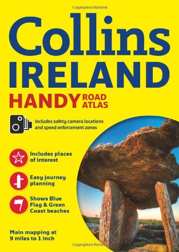
Collins Ireland Handy Road Atlas (International Road Atlases) by Collins UK

Collins Ireland Handy Road Atlas (International Road Atlases)

Collins UK
64 pages
HarperCollins UK; Revised edition
Jun 2013
Paperback
WSBN
0
Readers
0
Reviews
0
Discussions
0
Quotes

Complete with information on places of tourist interest, this handy format route planning atlas in full color also features fully indexed town center plans of Belfast, Cork, Dublin, Galway, Limerick, and Londonderry. The whole of Ireland is mapped at 9 miles to 1 inch. The cartogaphy is beautifully designed with color classified roads and subtle layered height tinting, and new for this edition is the inclusion of a map showing the location of Blue Flag and Green Coast beaches. These have been evaluated for their water quality and safety, and, in the case of Blue Flag beaches, for their amenities such as life guards and restrooms. Also included are a list of tourist information centers; descriptions of places of interest; a full index of place names and places of interest; information on airports, ferries, and radio stations; and a mileage chart.
Join the conversation

No discussions yet. Join BookLovers to start a discussion about this book!

No reviews yet. Join BookLovers to write the first review!

No quotes shared yet. Join BookLovers to share your favorite quotes!

Earn Points
Your voice matters. Every comment, review, and quote earns you reward points redeemable for Bitcoin.
Comment +5 pts Review +20 pts Quote +7 pts Upvote +1 pt
BookMatch Quiz
Find books similar to this one
About this book
Pages 64
Publisher HarperCollins UK; Re...
Published 2013
Readers 0